gerade nicht auf Lager
Walter Grasskamp
Das Kunstmuseum. Eine erfolgreiche Fehlkonstruktion
Siegfried Ebeling
Der Raum als Membran
Patrick Joseph
Poet Fool
gerade nicht auf Lager
Charlotte Klonk (Ed.)
New Laboratories. Historical and Critical Perspectives on…
gerade nicht auf Lager
Gwen Allen
The Magazine (Documents of Contemporary Art)
gerade nicht auf Lager
Helen Armstrong
Digital Design Theory
gerade nicht auf Lager
Gerald Raunig
Dividuum. Machinic Capitalism and Molecular Revolution
gerade nicht auf Lager
Mario Gooden
Dark Space. Architecture, Representation, Black Identity
gerade nicht auf Lager
Mike Watson
Towards a Conceptual Militancy
gerade nicht auf Lager
Guttmann, Kaiser, Mazanek, diachron (…
Jan Turnovsky: The Weltanschauung as an Ersatz Gestalt.…
gerade nicht auf Lager
Rebecca Roke
Nanotecture: Tiny Built Things
M. del Junco, M. Toledo (Eds.)
Max Bill
gerade nicht auf Lager
Salomon Frausto
Scenes from the Good Life. Nine investigations into the…
gerade nicht auf Lager
Daniel M. Abramson
Obsolescence. An Architectural History
gerade nicht auf Lager
Robert Stalla (Hg.)
Bauen mit Künstlern: Architekt Peter Ottmann
gerade nicht auf Lager
Georg Diez/Christopher Roth
80*81: What Happened?
gerade nicht auf Lager
Sara De Bondt, Fraser Muggeridge
The Form of the Book Book
gerade nicht auf Lager
K. Busch, B. Meltzer, T. von Oppeln (Hg)
Ausstellen: Zur Kritik der Wirksamkeit in den Künsten
Fiona McGovern
Die Kunst zu zeigen: Künstlerische Ausstellungsdisplays bei…
Hu Fang
Sou Fujimoto. Towards a Non-Intentional Space. About Sou…
Johannes M. Hedinger, Torsten Meyer (Hg)
What's Next? Kunst nach der Krise. Ein Reader
gerade nicht auf Lager
Rudolf Fischer, Wolf Tegethoff (Hg.)
Modern wohnen. Möbeldesign und Wohnkultur der Moderne
W. Cobbing, R. Cooper (Eds.)
Boooook: The Life and Work of Bob Cobbing
gerade nicht auf Lager
Robert Klanten, Sofia Borges (Eds.)
The Tale Of Tomorrow. Utopian Architecture in the Modernist…
Angela Dimitrakaki
Gender, Artwork and the Global Imperative
gerade nicht auf Lager
Giorgio Agamben
The Use of Bodies
gerade nicht auf Lager
Andreas Seltzer
Der Sendermann / The Transmitter Man
Lada Umstätter (Hg)
Le Corbusier und die Macht der Fotografie
Tilman Baumgärtel (Hg)
Pirate Essays. A Reader on International Media Piracy
Paul B. Preciado
TESTO JUNKIE: Sex, Drogen und Biopolitik in der Ära der…
gerade nicht auf Lager
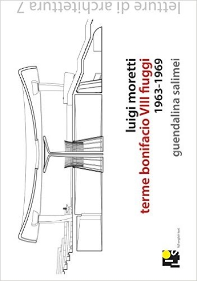
Guendalina Salimei
Luigi Moretti. Terme Bonifacio VIII Fiuggi 1963 - 1969
Henri Lefebvre
Das Recht auf Stadt
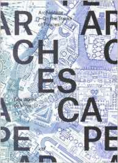
Gijs Wallis de Vries
Archescape. On the tracks of Piranesi
gerade nicht auf Lager
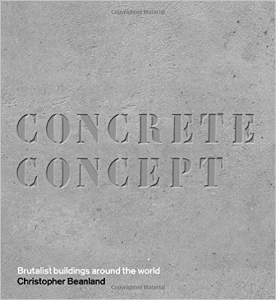
Christopher Beanland
Concrete Concept. Brutalist Buildings Around the World
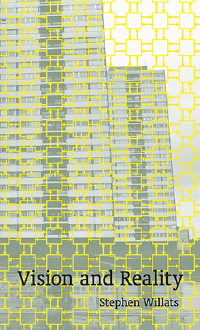
Stephen Willats
Vision and Reality
Anja Schwanhäußer (ed)
Sensing the City. A Companion to Urban Anthropology
gerade nicht auf Lager
Jeannette Kuo, Frank Barkow (Eds.)
Space of Production. Projects and Essays on Rationality,…
Amelia Jones, Erin Silber (Hg)
Otherwise. Imagining Queer Feminist Art Histories
gerade nicht auf Lager
David Keenan
England's Hidden Reverse. Coil, Current 93, Nurse with…
gerade nicht auf Lager
Nils Aschenbeck
Reformarchitektur. Die Konstituierung der Ästhetik der…
gerade nicht auf Lager
Christian Schittich (Hg.)
Best of Detail: Beton / Concrete
gerade nicht auf Lager
August Sarnitz, Inge Scholz-Strasser (…
Private Utopia: Cultural Setting of the Interior in the…
gerade nicht auf Lager
René Zechlin (Hg.)
Wie leben? Zukunftsbilder von Malewitch bis Fujimoto
gerade nicht auf Lager
Loretta Lees, Hyun Bang Shin, Ernesto…
Planetary Gentrification
gerade nicht auf Lager
Srećko Horvat
The Radicality of Love
gerade nicht auf Lager
Busch, Klanten, Hellige (Hg.)
The Age of Collage Vol. 2: Contemporary Collage in Modern…
gerade nicht auf Lager
André Tavares
The Anatomy of the Architectural Book
gerade nicht auf Lager
Susanne Leeb
Die Kunst der Anderen. "Weltkunst" und die…
gerade nicht auf Lager
Heike Jenss (Ed.)
Fashion Studies. Research Methods, Sites and Practices
Maud Meyzaud (Hg.)
Arme Gemeinschaft. Die Moderne Rousseaus
gerade nicht auf Lager
Félix Guattari
Schriften zur Kunst
gerade nicht auf Lager
Jesko Fezer & Studio…
Öffentliche Gestaltungsberatung. Public Design Support 2011…
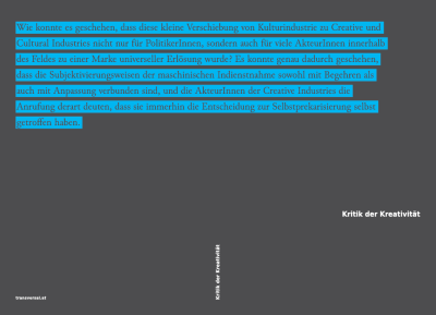
Gerald Raunig, Ulf Wuggenig
Kritik der Kreativität
gerade nicht auf Lager
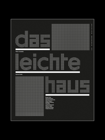
Walter Scheiffele
Das leichte Haus. Utopie und Realität der Membranarchitektur
gerade nicht auf Lager
Nora Amin
Migrating the Feminine
gerade nicht auf Lager
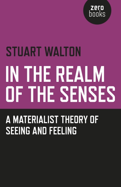
Stuart Walton
In The Realm of the Senses. A Materialist Theory of Seeing…
gerade nicht auf Lager
Felicity D. Scott (Autor), Nikolaus…
Disorientation: Bernard Rudofsky in the Empire of Signs.…
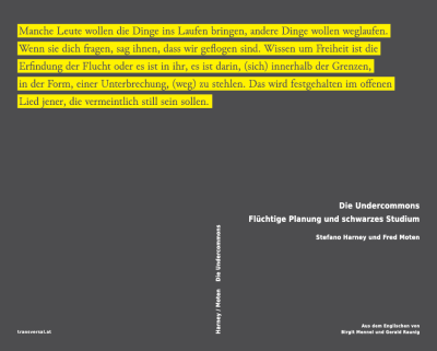
Stefano Harney, Fred Moten
Die Undercommons. Flüchtige Planung und schwarzes Studium
gerade nicht auf Lager
Cord Riechelmann, Brigitte Oetker (Eds.)
Toward an Aesthetics of Living Beings / Zu einer Ästhetik…
gerade nicht auf Lager
Badura, Dubach, Haarmann, Mersch et al.
Künstlerische Forschung. Ein Handbuch
gerade nicht auf Lager
Marc Kushner
Die Zukunft der Architektur in 100 Bauwerken
gerade nicht auf Lager
Siegfried Zielinski (Hg.)
Flusseriana: An Intellectual Toolbox
gerade nicht auf Lager
Owen Hatherley
The Ministry of Nostalgia. Consuming Austerity
gerade nicht auf Lager
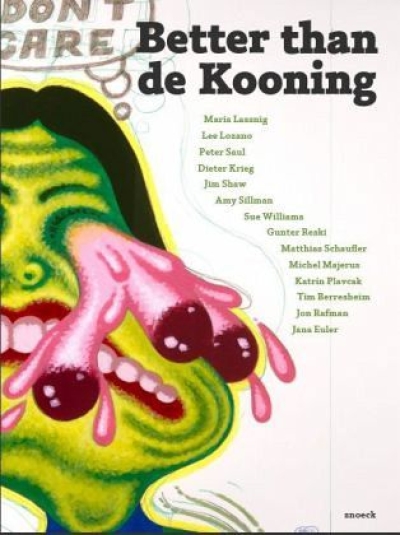
A. Baur, M. Weber (Hg.)
Better than de Kooning
Jörg Heiser
Doppelleben. Kunst und Popmusik
gerade nicht auf Lager
John Roberts
Die Notwendigkeit von Irrtümern
gerade nicht auf Lager
C. Thun-Hohenstein (Ed.)
Josef Frank. Against Design
gerade nicht auf Lager
Friedrich Kittler (Autor), Tania Hron,…
Baggersee. Frühe Schriften aus dem Nachlass
gerade nicht auf Lager
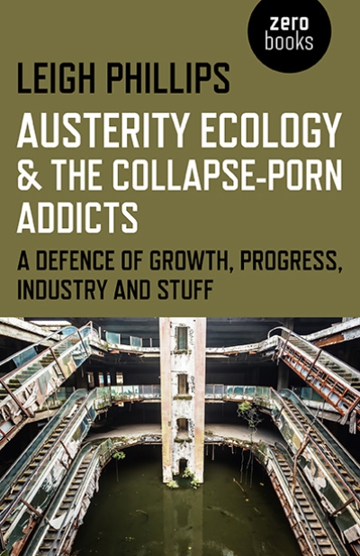
Leigh Phillips
Austerity Ecology & the Collapse-porn Addicts. A…
IDEA Magazine
IDEA 373. Post Independent Magazine
gerade nicht auf Lager
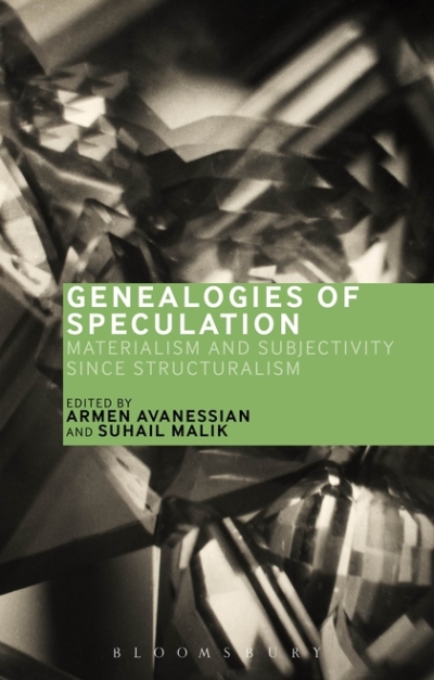
Armen Avanessian, Suhail Malik
Genealogies of Speculation. Materialism and Subjectivity…
gerade nicht auf Lager
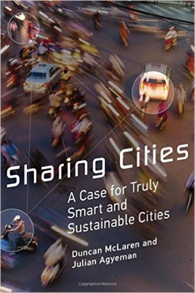
Duncan McLaren, Julian Agyeman
Sharing Cities. A Case for Truly Smart and Sustainable…
Alexandra Manske
Kapitalistische Geister in der Kultur- und…
gerade nicht auf Lager
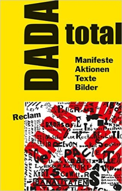
Karl Riha, Jörgen Schäfer (Hg.)
DADA total. Manifeste, Aktionen, Texte, Bilder
gerade nicht auf Lager
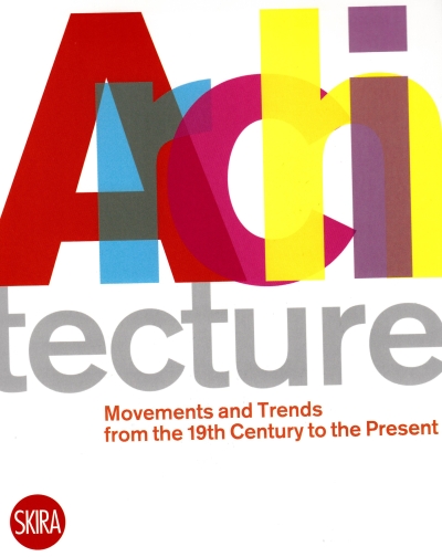
Luca Molinari (Ed.)
Architecture. Movements and Trends from the 19th Century to…
gerade nicht auf Lager
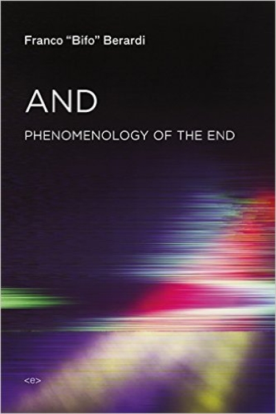
Franco "Bifo" Berardi
And. Phenomenology of the End
gerade nicht auf Lager
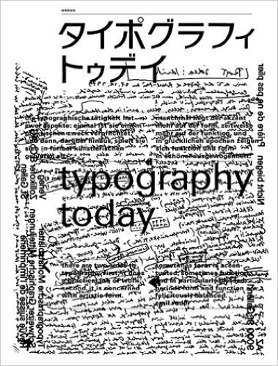
Helmut Schmid, Seibundo Shinkosha
Typography Today. Revised Edition
gerade nicht auf Lager
Hartmut Geerken, Chris Trent
Omniverse – Sun Ra
gerade nicht auf Lager
Angela McRobbie
Be Creative. Making a Living in the New Culture Industries
Thomas Großbölting, Rüdiger Schmidt
Gedachte Stadt - Gebaute Stadt: Urbanität in der deutsch-…
gerade nicht auf Lager
Graham Harman
Vierfaches Objekt
Carsten Ruhl, Chris Dähne (Hg)
Architektur ausstellen. Zur mobilen Anordnung des Immobilen
gerade nicht auf Lager
MacArthur, Plaat, Gosseye, Wilson (Eds.)
Hot Modernism. Queensland Architecture 1945 - 1975
gerade nicht auf Lager
J. M. Warmburg, C. Shmidt (Eds.)
The Construction of Climate in Modern Architectural Culture…
gerade nicht auf Lager
James Graham (Ed.)
2000+: The Urgencies of Architectural Theory
gerade nicht auf Lager
Susanne Pietsch, Andreas Mueller (Eds.)
Walls That Teach. On the Architecture of Youth Centers
gerade nicht auf Lager
Bernhard Cella, Leo Findeisen, Agnes…
NO-ISBN on self-publishing
gerade nicht auf Lager
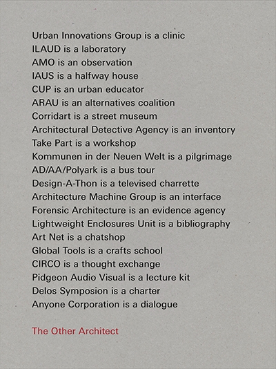
Giovanna Borasi (Ed.)
The Other Architect. Exhibition: Canadian Centre for…
gerade nicht auf Lager
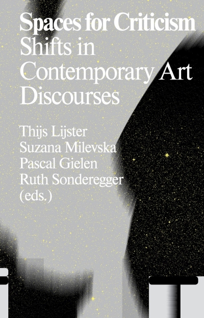
Lijster, Milevska, Gielen, Sonderegger…
Spaces for Criticism: Shifts in Contemporary Art Discourses
gerade nicht auf Lager
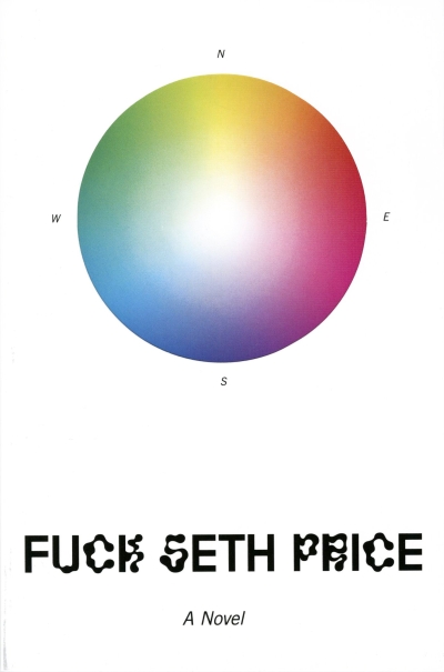
Seth Price
Fuck Seth Price
gerade nicht auf Lager
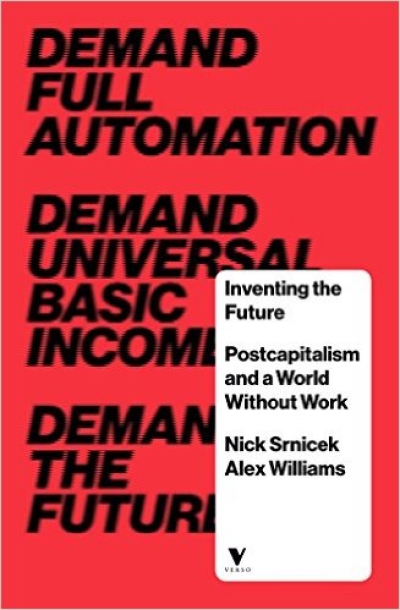
Nick Srnicek, Alex Williams
Inventing the Future. Postcapitalism and a World Without…
gerade nicht auf Lager
Alexander Vasudevan
Metropolitan Preoccupations. The Spatial Politics of…
gerade nicht auf Lager
Enrico Gualini, João Morais Mourato,…
Conflict in the City. Contested Urban Spaces and Local…
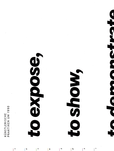
Matthias Michalk (Ed.)
Künstlerische Praktiken um 1990. to expose, to show, to…
Jeannette Merker, Riklef Rambow (Hg.)
Architektur als Exponat. Gespräche über das Ausstellen
gerade nicht auf Lager
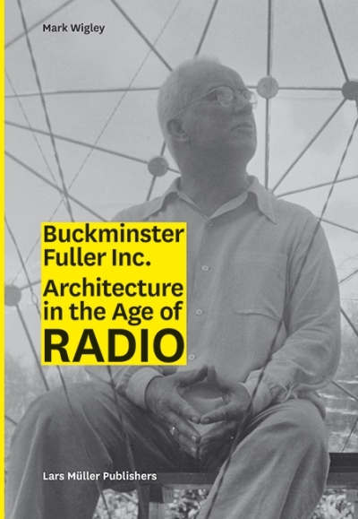
Mark Wigley
Buckminster Fuller Inc. Architecture in the Age of Radio
Martin und Werner Feiersinger
Italomodern 2. Architektur in Oberitalien 1946–1976
gerade nicht auf Lager
Rainer Hehl, Ludwig Engel
Berlin Transfer. Hybrid Modernities